Assessment of impact of coastal hazards on scientific and community infrastructure in polar regions using remote sensing, geoinformation and new geomorphological mapping methods
Funding agency: Foundation for Polish Science
Amount: 305 000 PLN
Period: 2014-2015
Objectives
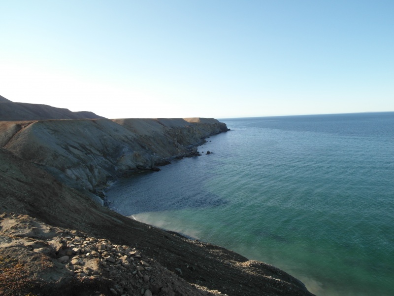
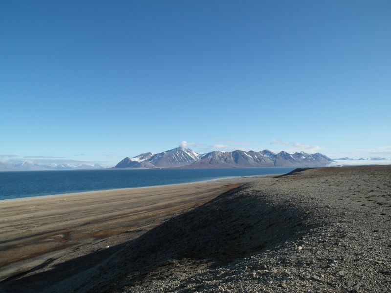
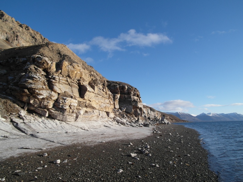
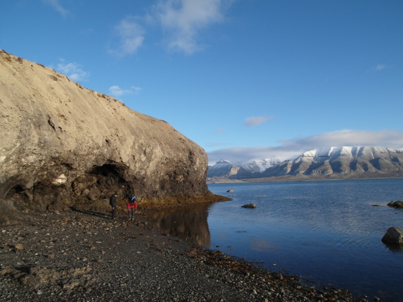
The scientific aim of the project is to apply state-of-the-art geoinformation and remote sensing techniques together with new field-based geomorphological mapping methods to examine the impact of coastal hazards on scientific and community infrastructure along the coasts of Svalbard Archipelago, High Arctic.
The research will also result in a risk assessment for development and protection of human infrastructure along the coasts of Svalbard under scenarios of climate change, sea-level rise, changes to the frequency of storms entering the region and variations in sea ice extent.
The project is also intended to promote ideas for Svalbard Integrated Arctic Earth Observing System through the development of the coastal hazard monitoring research group on Svalbard.
Methodology
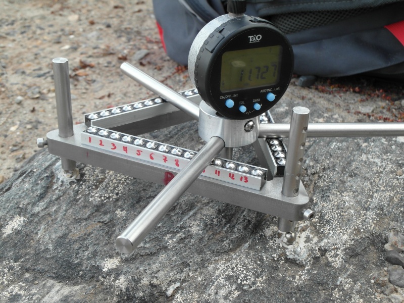
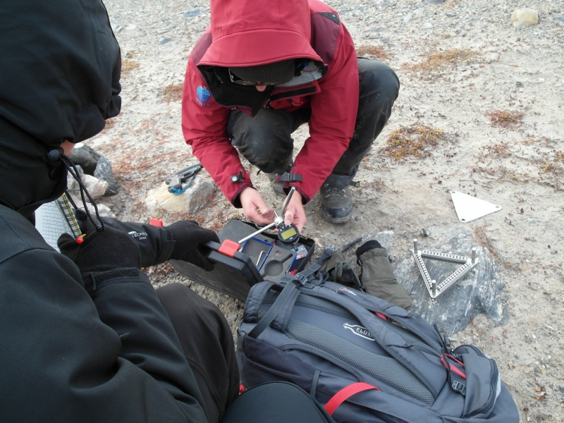
This research is based on a combination of both established and new, innovative methods of coastal change analysis and environmental monitoring.
The research will be divided into two components:
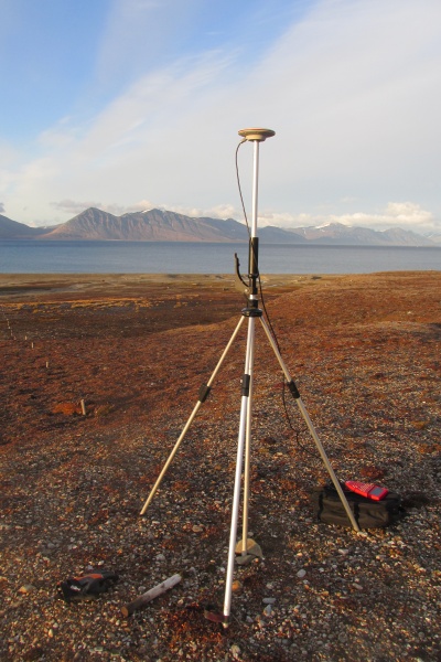
Component 1 - GIS (geographical information systems) analyses of remote sensing data
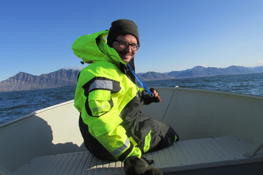
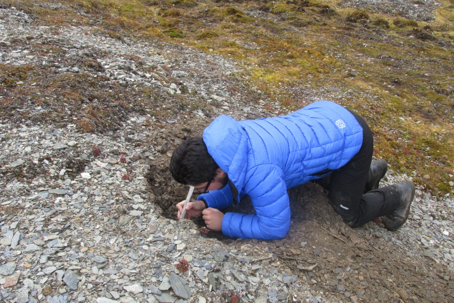
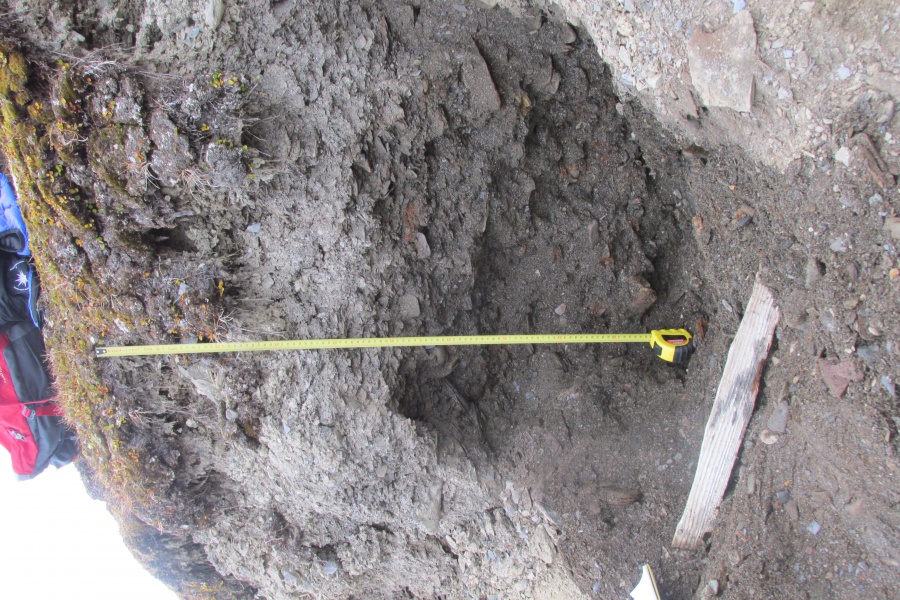
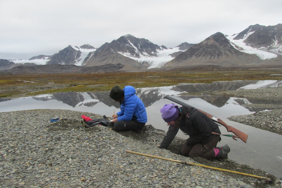
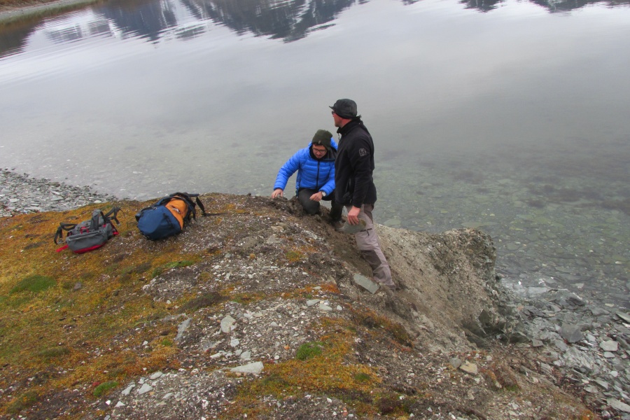
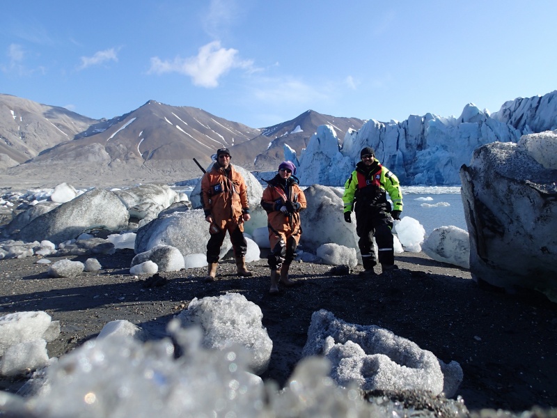
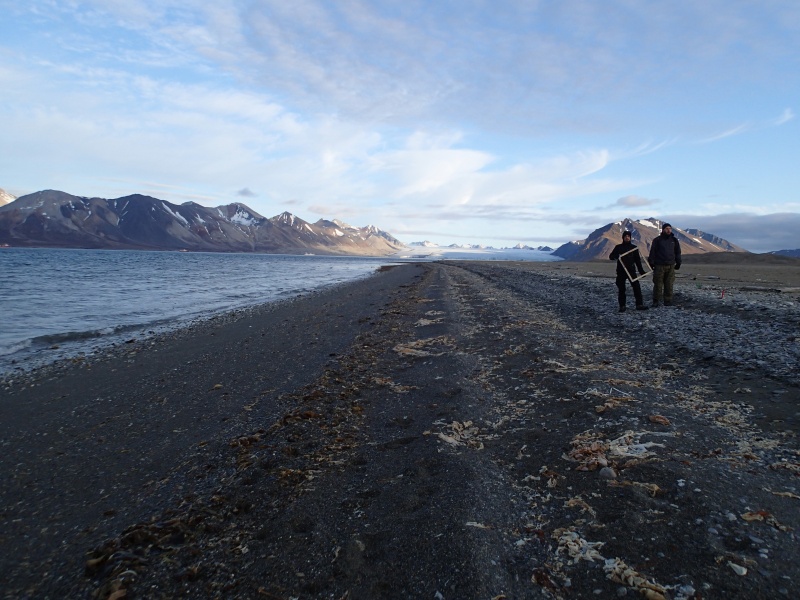
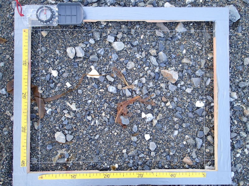
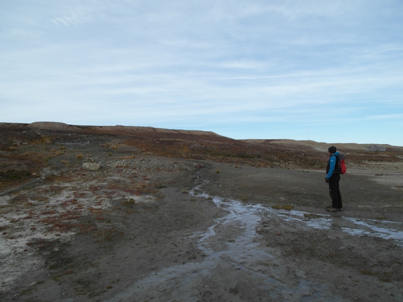
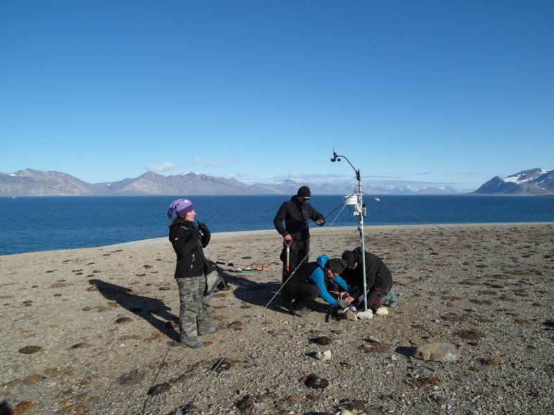
Component 2 - Field-based observations and ground-truthing of results of GIS analyses along selected coastal sections of Svalbard
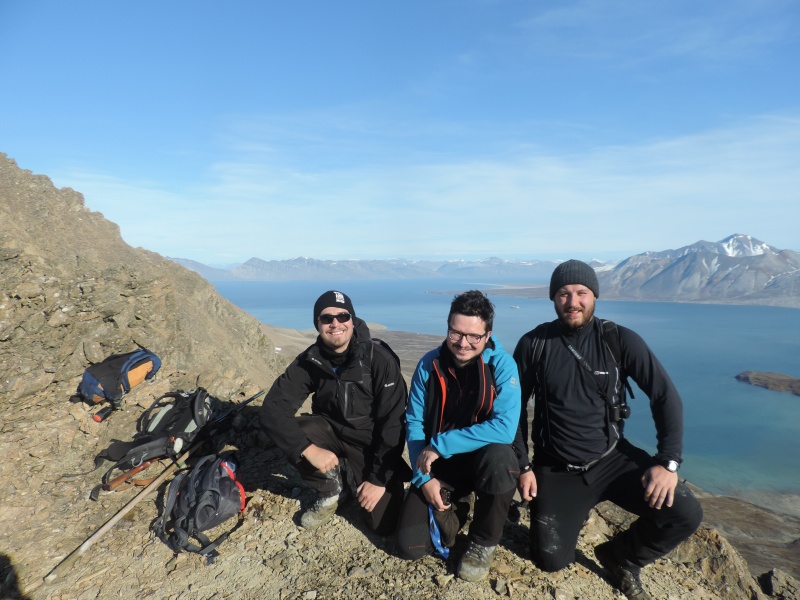
Research Team
Dr Mateusz Strzelecki - principal investigator, University of Wrocław, specialist in Arctic coastal change research using GIS and remote sensing techniques
Marek Jaskolski working on Master thesis focusing on the spatial and temporal analysis of coastal zone changes and their impact on the development of Svalbard towns
Lukasz Pawlowski working on Master thesis focusing on the assessment of risk associated with the impact of coastal hazards on the functioning of Svalbard research bases
Partners
Professor Antony Long, Department of Geography, Durham University, UK - a world-leading expert in Arctic sea-level change and coastal evolution
Professor Grzegorz Rachlewicz, Department of Cryospheric Research, Adam Mickiewicz University in Poznań, Poland – expert in Svalbard environmental change research, Head of AMUPS
Associate Professor Maria Jensen, Department of Arctic Geology, University Centre in Svalbard, Norway – sedimentologist, leader of coastal research in Braganzavegen area carried out by UNIS
Dr Michael Lim, Faculty of Engineering and Environment, Northumbria University, UK – a leading expert in the field of rock coast studies, who has pioneered the development and application of techniques such as terrestrial laser scanning, digital photogrammetry and numerical modelling for understanding rock cliff behaviour
Dr Piotr Zagórski, Department of Geomorphology, Maria Curie-Skłodowska University in Lublin – leading coastal geomorphologists and GIS expert working on the response of Svalbard coastal zone to climate warming
Results
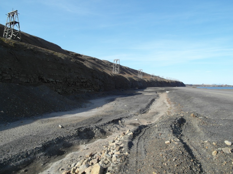
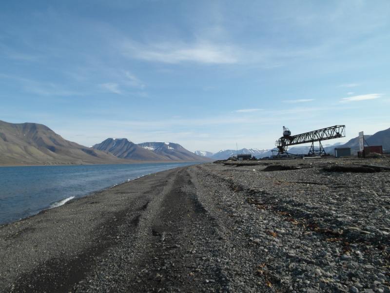
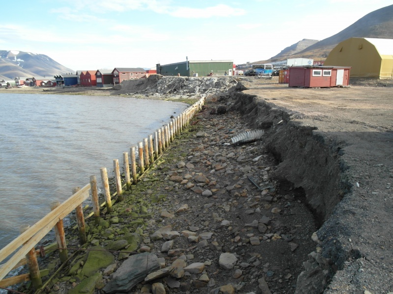
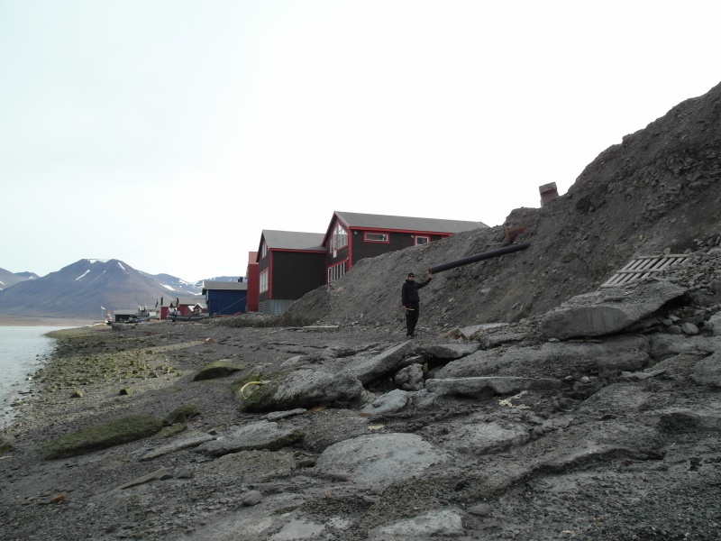
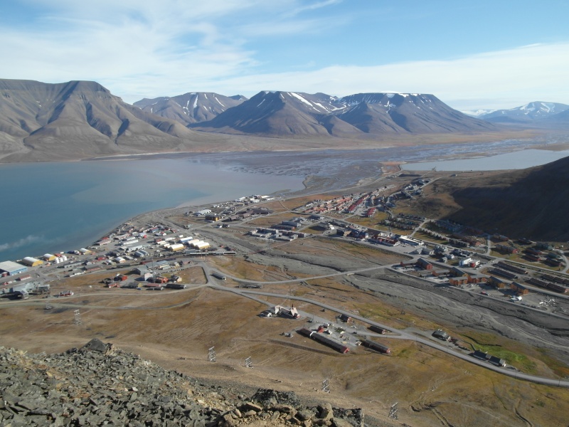
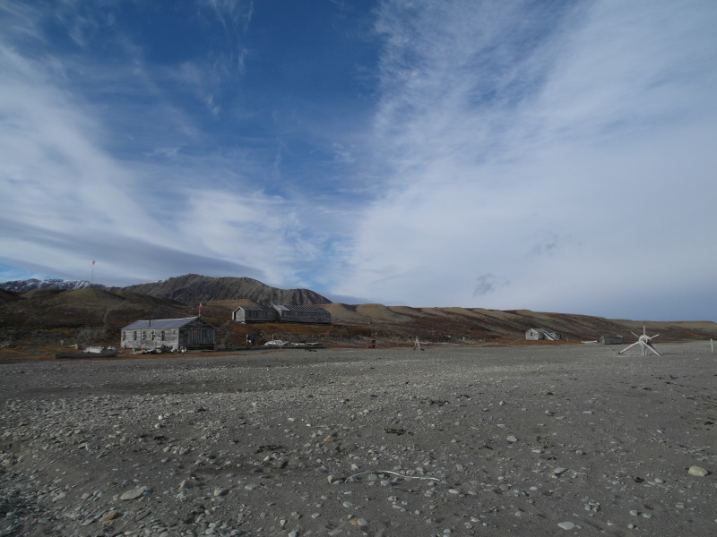
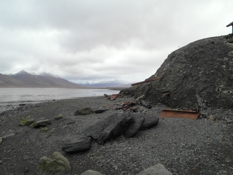
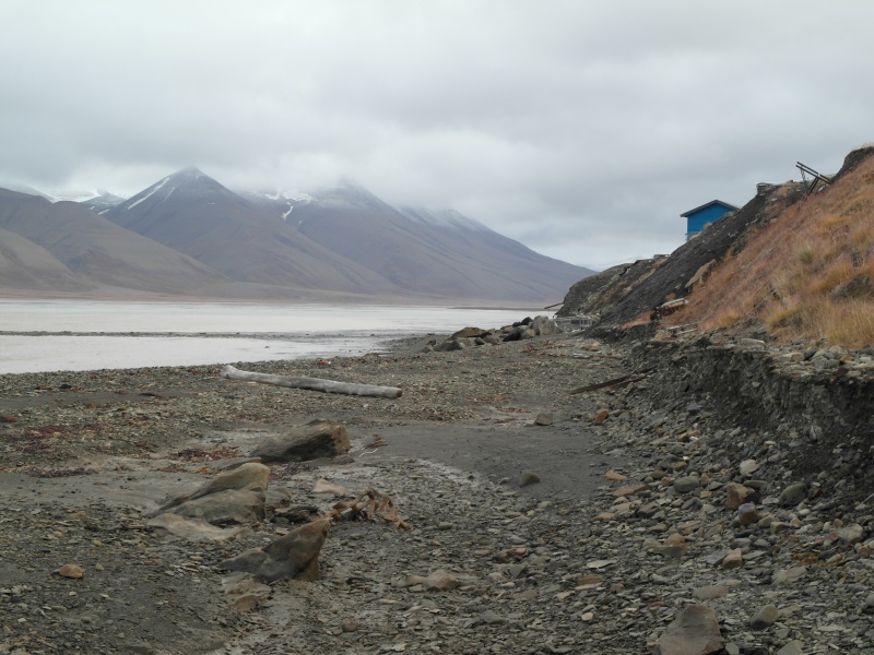
In our project, in a comprehensive way, we tried to characterize the risk for the functioning of Arctic settlements and scientific bases, related to changes in the coastal zones caused by global warming. The area of our research was the Svalbard archipelago - a European gateway to the Arctic. Using a mosaic of geographic methods we have estimated the impact of extreme processes such as coastal erosion or permafrost-induced landslides on safety and the possibility of the development of urban and research infrastructure in Spitsbergen. In some cities the erosion and landslides threaten the critical traffic routes and storage areas, whereas infrastructure of analyzed research stations is at risk of destabilization of the buildings by the intensification of periglacial processes
The research findings of the project will improve our understanding of coastal hazards on Svalbard and their impact on human activity. The principle objectives of the impact plan are:
Publication of research papers in high-impact peer reviewed journals
Collection of data for two Master’s degree theses realized during the project period
Ensuring the development of future Polish polar research by training young researchers in leading international research collaborations
Expanding Polish polar research on Svalbard in order to increase the scientific impact of national polar research
To engage with the wider scientific community through the delivery of results at key international conferences
Strengthening the collaborative links between Polish polar scientists and world-leading researchers
Project beneficiaries: the GIS and remote sensing research community, the coastal research community, the Arctic coastal hazard mitigation and management community, insurers and risk managers concerned with natural hazards in polar regions, the polar infrastructure engineering and planning community, Svalbard community.
Polarcoats.org website is a contribution to the „Assessment of impact of coastal hazards on scientific and community infrastructure in polar regions using remote sensing, geoinformation and new geomorphological mapping methods'” project is carried-out within the HOMING PLUS programme of the Foundation for Polish Science, cofinanced from the European Union under the European Regional Development Fund


 CV
CV